
Alport Castle is a very distinct feature situated in the Peak District not too far from LadyBower Reservoir. The source of the feature is what is thought to have been the largest landslip in the UK. The most noticeable feature is known as the Tower and myself and a couple of friends decided to head up there at the weekend for a morning walk around and a call to the pub.
We started our walk from the car park at Fairholmes situated at the extreme north end of Ladybower Reservoir. The car park and facilities here are very good. There is a W.C., a shop and a bike hire centre. So you've guessed it, it's a popular place for bikes. But from a walkers point of view, no problems at all.

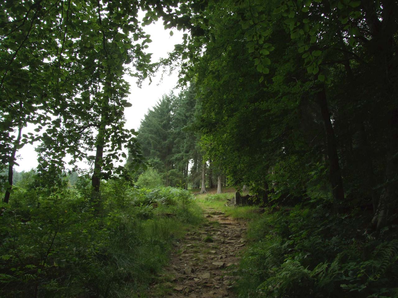
The route we followed took us up through the Lockerbrook Coppice, quite steep initially, but steadily easing as height is gained.

The walk up through the Coppice starts to produce the first views of the day. Although not as nice as I had hoped, primarily down to the poor weather.

At the top of the Coppice is a path crossing which takes you roughly south and down and past the Lockerbrook Outdoor Centre. Around 400 meters passed the centre you take a right, north west up to Bellhag Tor.

As you approach Bellhag Tor, the views around you begin to open up. In good weather I can imagine they are fantastic. Unfortunately for us the weather not so good. Have I already mentioned that the weather was poor?

The path heads on across the edge of Pasture Tor with Hagg Farm, Rowley Farm and the A57 visible in the valley below.

From here the path starts to take a more north, north westerly direction until you reach Little Moor and your first views of Alport Castle.

If you descend a few feet down the path that would take you to Alport Farm, it is possible to find a nice spot out of the wind for a break. This is where your first view of the Tower will occur. We tried to get through a small gulley here to get a closer view, but the carcass of a dead sheep offered too much resistance.

After a break here, myself and my companions headed back up to the ridge line and continued heading around above Alport Castle with the views improving drastically.

As we approached Birchin Hat we took a turn right (approximately north east) down through Ditch Clough past the Grouse Butts. Having seen the weather forecast we decided that we could time it roughly so that we would be walking around the wooded areas of Howden Reservoir as the rain took hold.

We continued down the Clough until we came to Ditch Clough Plantation, quite a steep section of path with little snippets of views.

At the bottom of the hill you take a right on the plantation service road. This road will take you onto the road that circles the reservoirs.

Taking a southerly course takes you anti-clockwise around Howden Reservoir and back down to Fairholmes. It is worth taking the odd excursion here off the path along side the road and down to the side of the reservoir where some interesting views can be found. Our decision to take this route was also justified at this point when the heavens opened.

Finaly the route passes the Upper Derwent Dam with the car park coming up shortly after.
All in all quite a nice walk for a morning out. Approximately 8 miles and around 4 hours to walk. Bigger walks are possible along with alternative routes. So more options for the future.
All in all quite a nice walk for a morning out. Approximately 8 miles and around 4 hours to walk. Bigger walks are possible along with alternative routes. So more options for the future.
A call at the Ladybower Inn was a nice finish to the day.
No comments:
Post a Comment